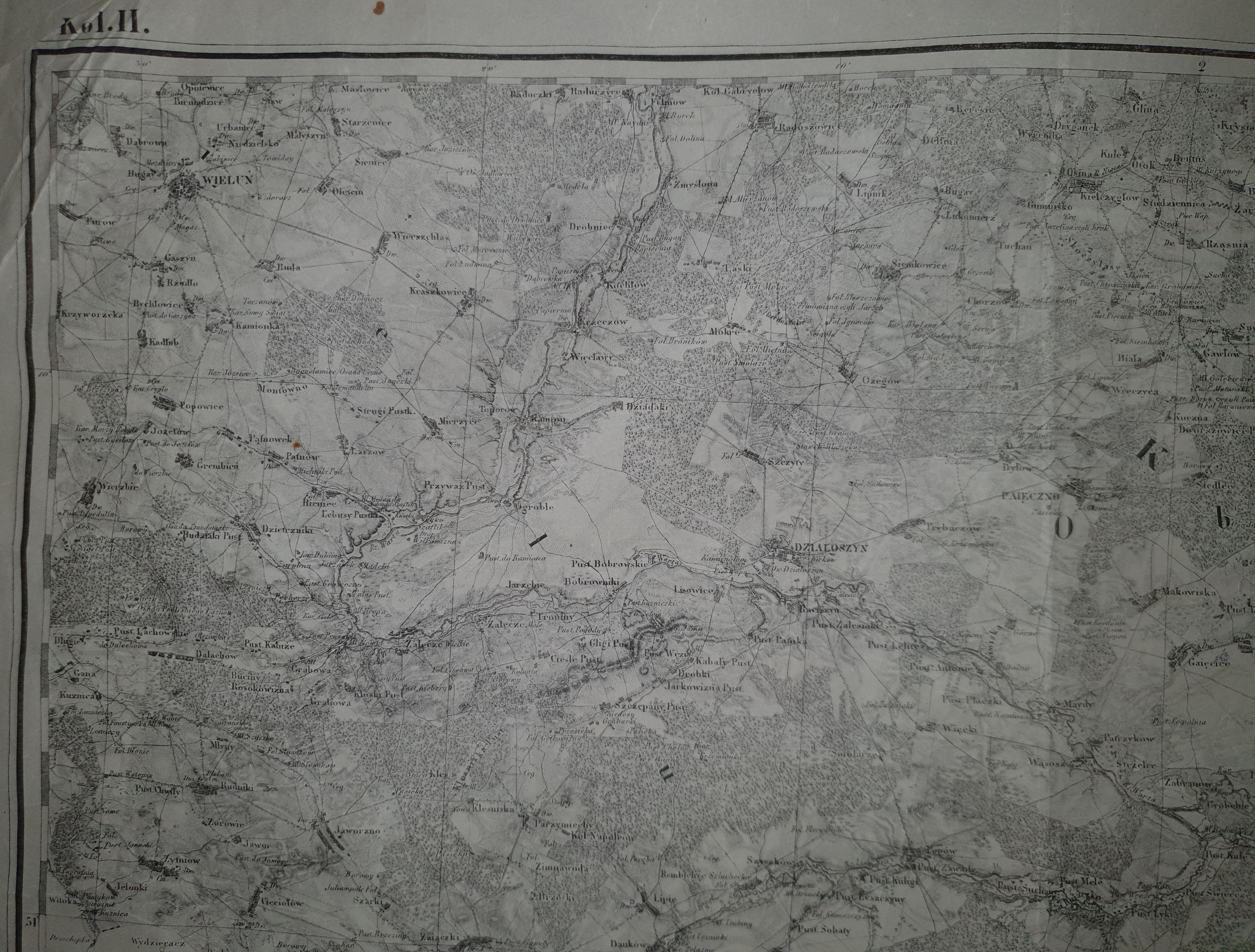
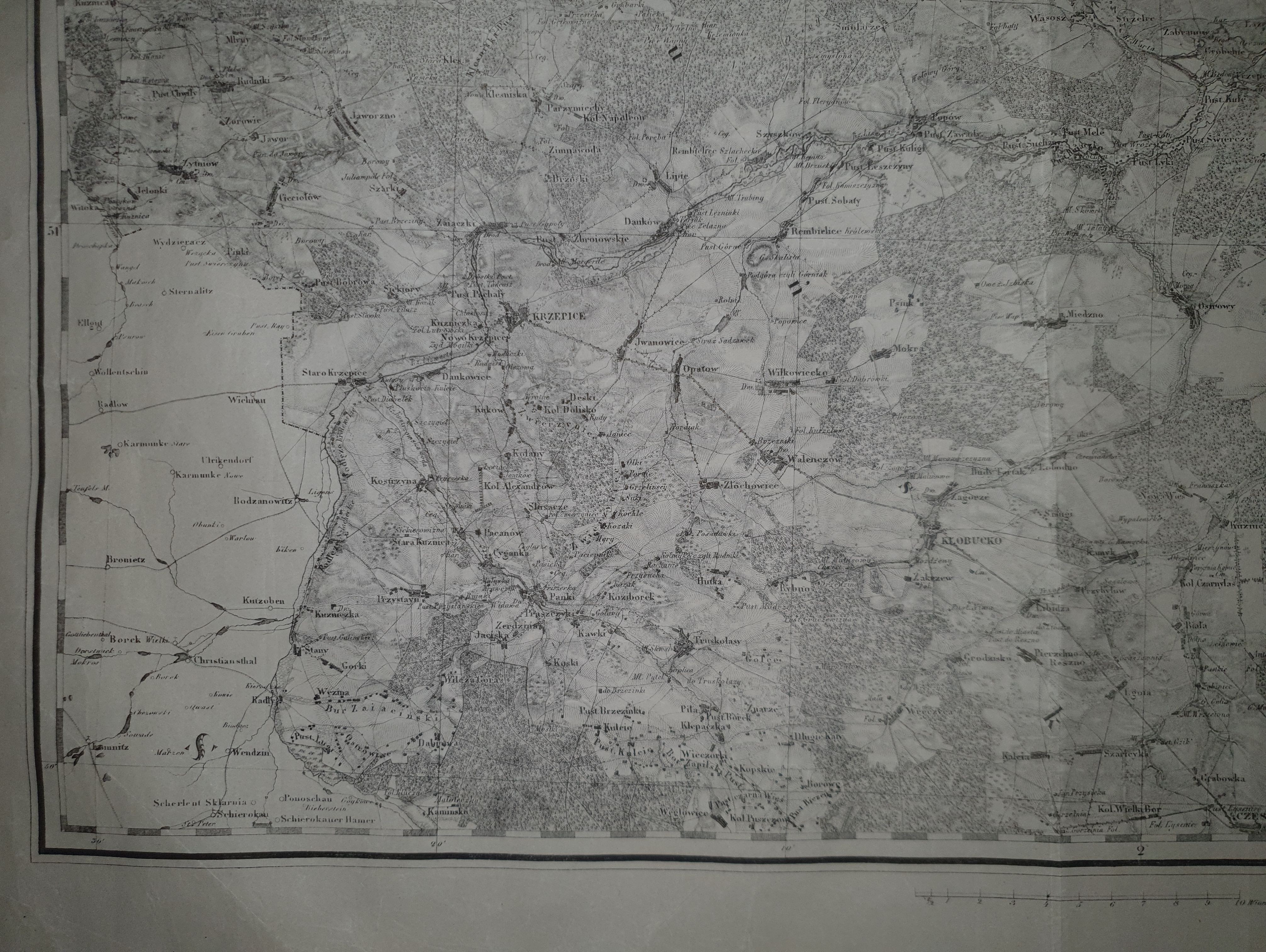
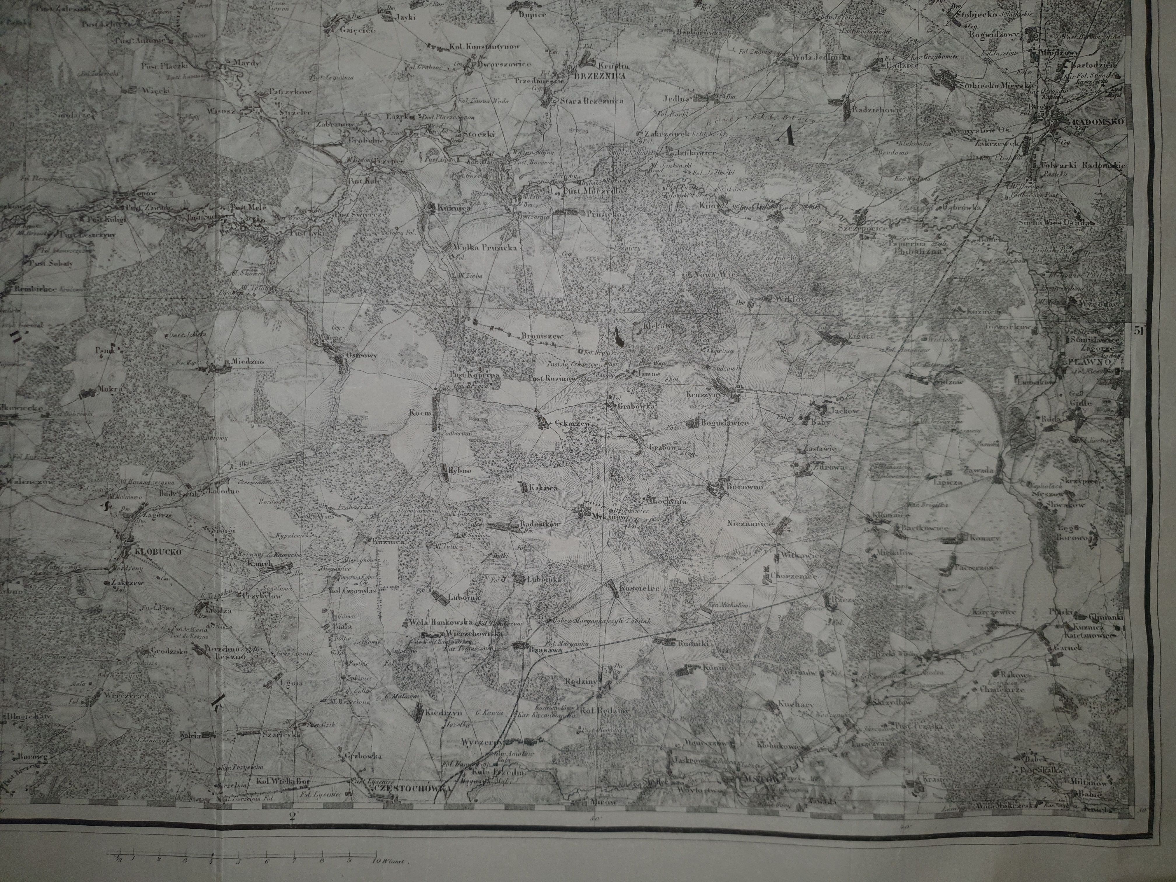

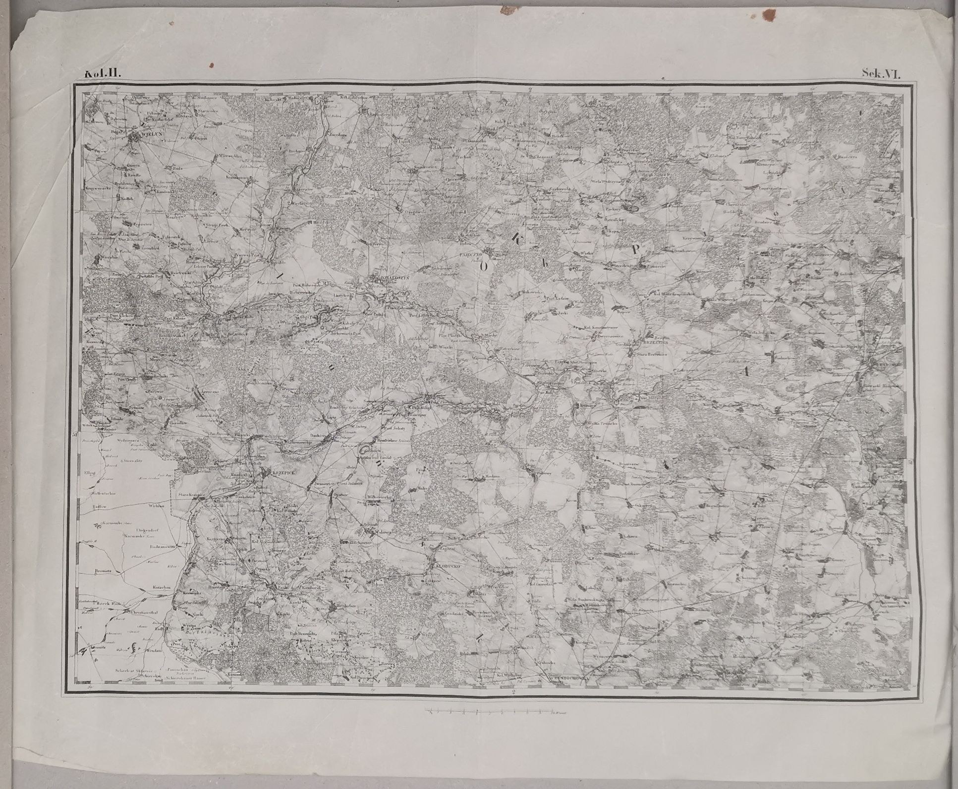
The sheet marked above the corners of the map Col.II. Sec.VI., covering the area between Wieluń(northeast), Radomsko(west) and Częstochowa(south). Lithograph on sheet 64.3 x 50.2 cm. [No scale designation - 1:126,000].
Part of the atlas entitled "Topographical Chart of the Kingdom of Poland". , the so-called "Quartermaster Maps", which included an index, 56 full sheets and 4 half sheets with sections covering the entire Kingdom of Poland(Kongresówka). Between 1822 and 1830, the General Quartermaster Office of the Polish Army worked on the work. By the outbreak of the November Uprising, 27 copperplate maps had been prepared , and 6 more were in preparation. As a result of the fall of the uprising, the Quartermaster General's Office ... was dissolved, and the already prepared materials were taken over by the Russians. The work was continued by the Branch of the Corps of Topographers [of the Russian Army] for the Survey of the Kingdom of Poland, under the direction of K.I. Richter , and then N.I. Pipenberg, until 1839(this is the date given for printing, the completion of field work). It was published in full only in St. Petersburg (?), in 1843. During the development of the lithographic edition, minor changes were applied, among other things, railroads were updated (in the 1st edition there was a division into existing and planned, here all marked equally).
The Quartermaster Map is one of the most outstanding achievements of Polish military cartography (the Russians, who were finishing the work, used instructions from Poles, as well as the work of Polish cartographers). For many years it was unobtainable, declassified only in 1857, when it was made possible to sell its sheets in St. Petersburg. During the January Uprising, insurgents often did not have access to it, sometimes having only photographic copies, which caused tactical/communication problems.
Here, the piece on offer is from a no less rare reissue of the Quartermaster Map, circa 1862-66, lithographic copies made on thin tissue paper (based on copperplate originals from the 1st edition).
Condition: folds, numerous smaller and larger creases of tissue paper, spotting, minor discoloration.
Rarity. In the last 25 years we have not noted(something may have escaped us) the appearance of loose sheets of the Quartermaster Map on the market, the last piece in the atlas version (with one missing), also 2nd edition, appeared at the 4th auction of Lamus in 1997, went to the collection of the National Library.
Bibliography: "Central Catalog of Cartographic Collections in Poland" zeszyt 5, PAN IGiPZ, Warsaw, 1983, item 148(edition of 1839/43- under item 104).
Edited 13.11.2023 - added additional photographs, with close-ups, replaced main photo with new one. Due to the quality of the paper and technical problems, it is very difficult for us to take photos with satisfactory sharpness. The paper is tissue paper and light reflects unevenly on the numerous small creases. If someone wants to make sure that a particular detail is on the map, and cannot read from the photos, we recommend very good quality scans of a digitized piece of the atlas( from the same edition) https://rcin.org.pl/dlibra/docmetadata?id=831/docmetadata?id=831from=pubstats