Maps of the World, 18th-19th century, 7 pieces
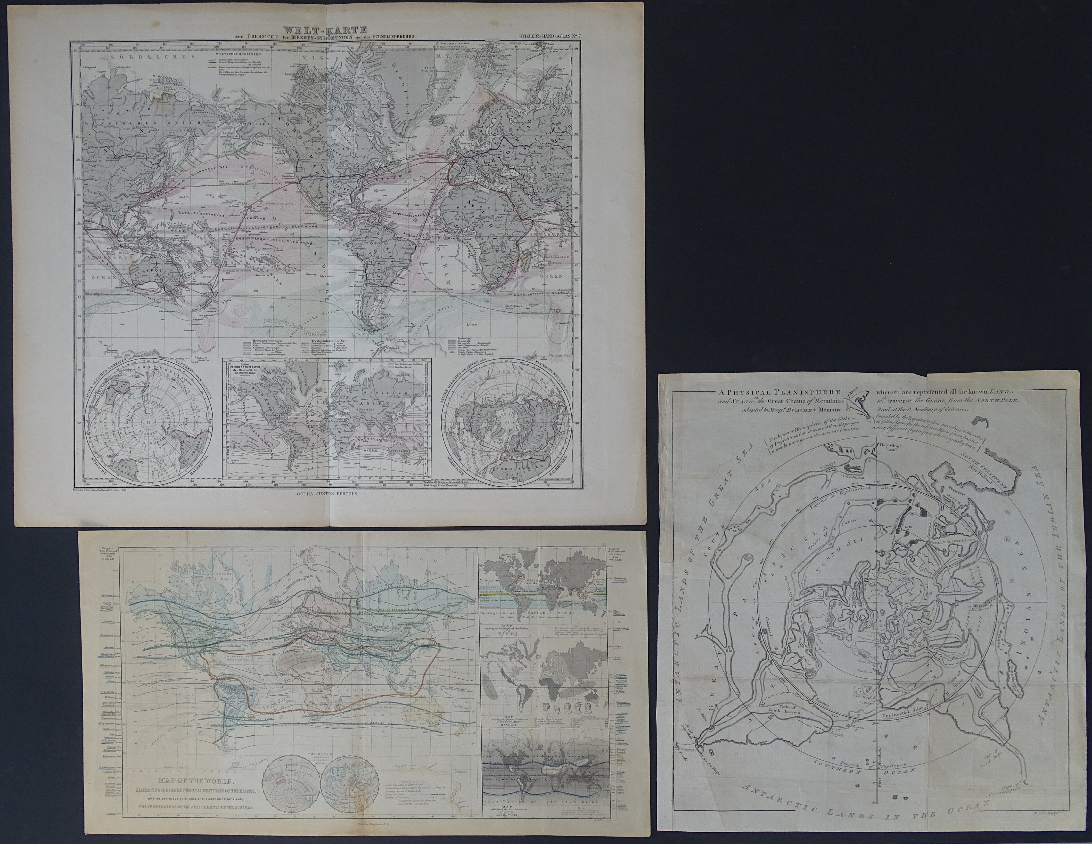
1. world map with focal point over the North Pole
A physical planisphere wherein are represented all the known land and seas with the great chains of mountains which traverse the globe from the North. adapted to Monfr. Buache's memoire
Philiipe Buache, ca. 1750, sheet 32 by 34 cm
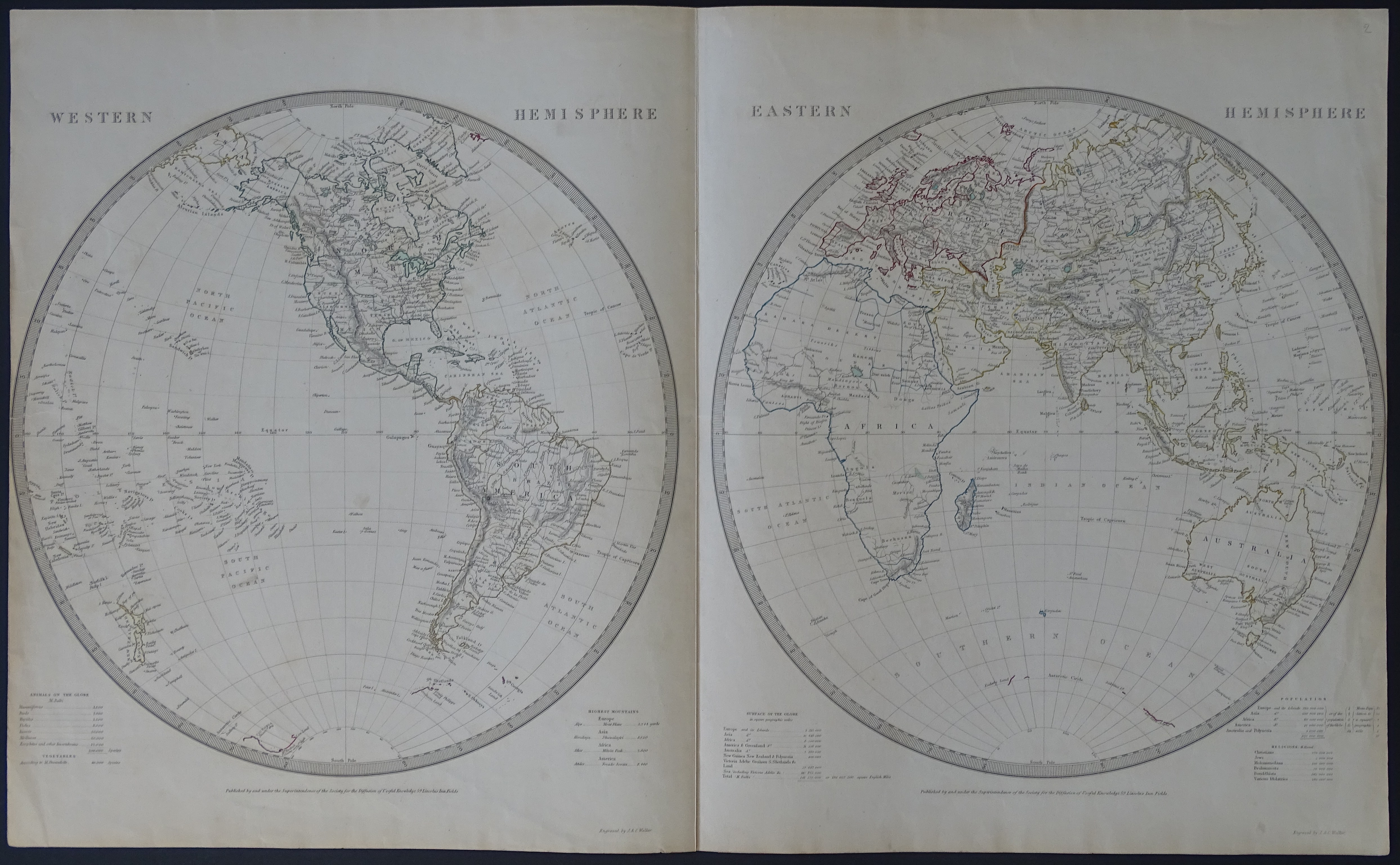
2 Western Hemisphere Eastern Hemisphere SDUK (Society for the Diffusion of Useful Knowledge), ryt. J.C. Walker 1841
sheet approx. 67.5 by 41 cm
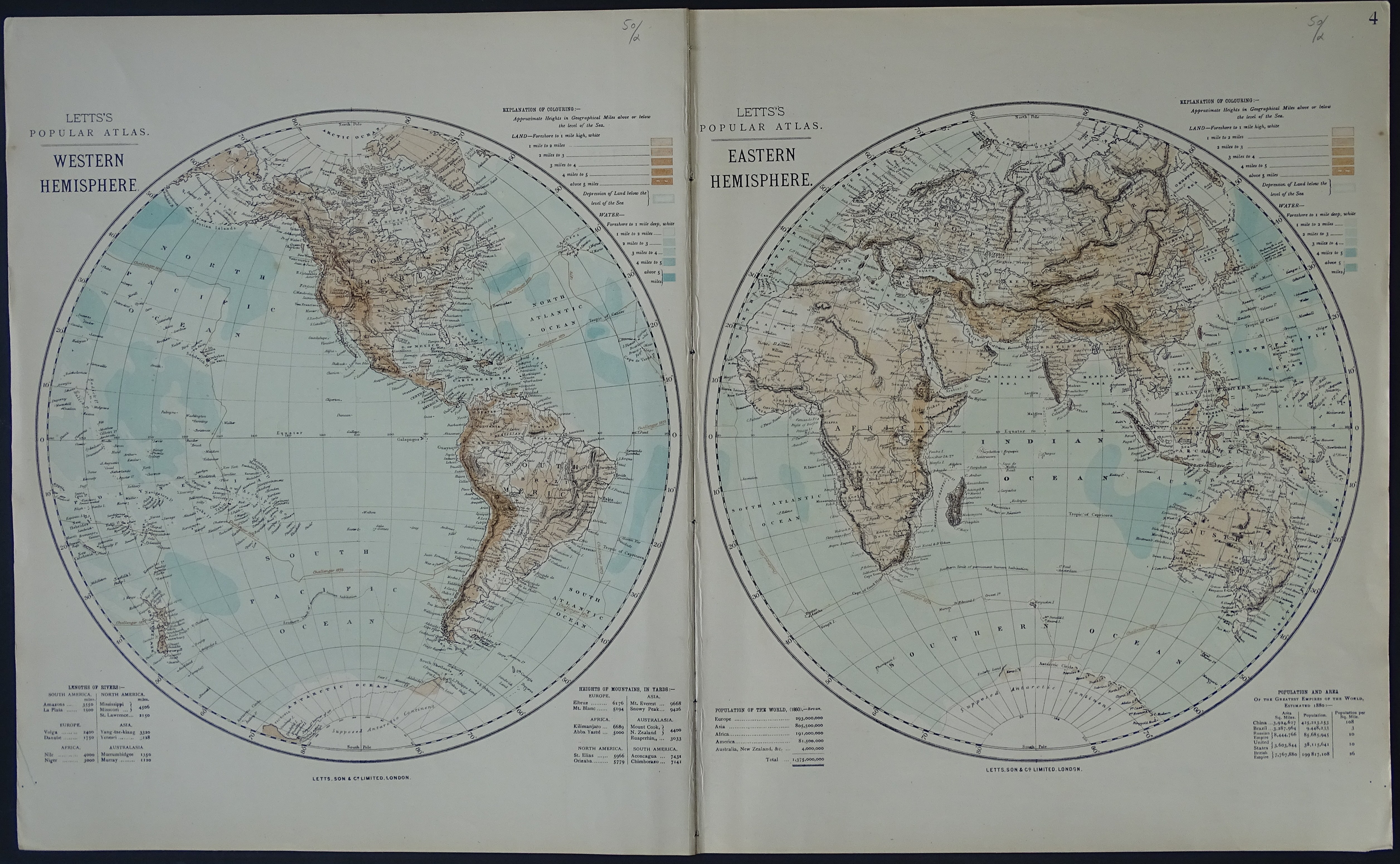
3. Western Hemisphere Eastern Hemisphere from Letts's Popular Atlas, London 1883
sheet approx. 71 by 43 cm
4. Welt-Karte, Stieler's Hand-Atlas, Justus Perthes 1876
sheet approx. 47.5 by 39 cm
5. Map of The World Exhibiting the Chief Physical Features of the Earth, London 1860
sheet approx. 42.5 by 23 cm
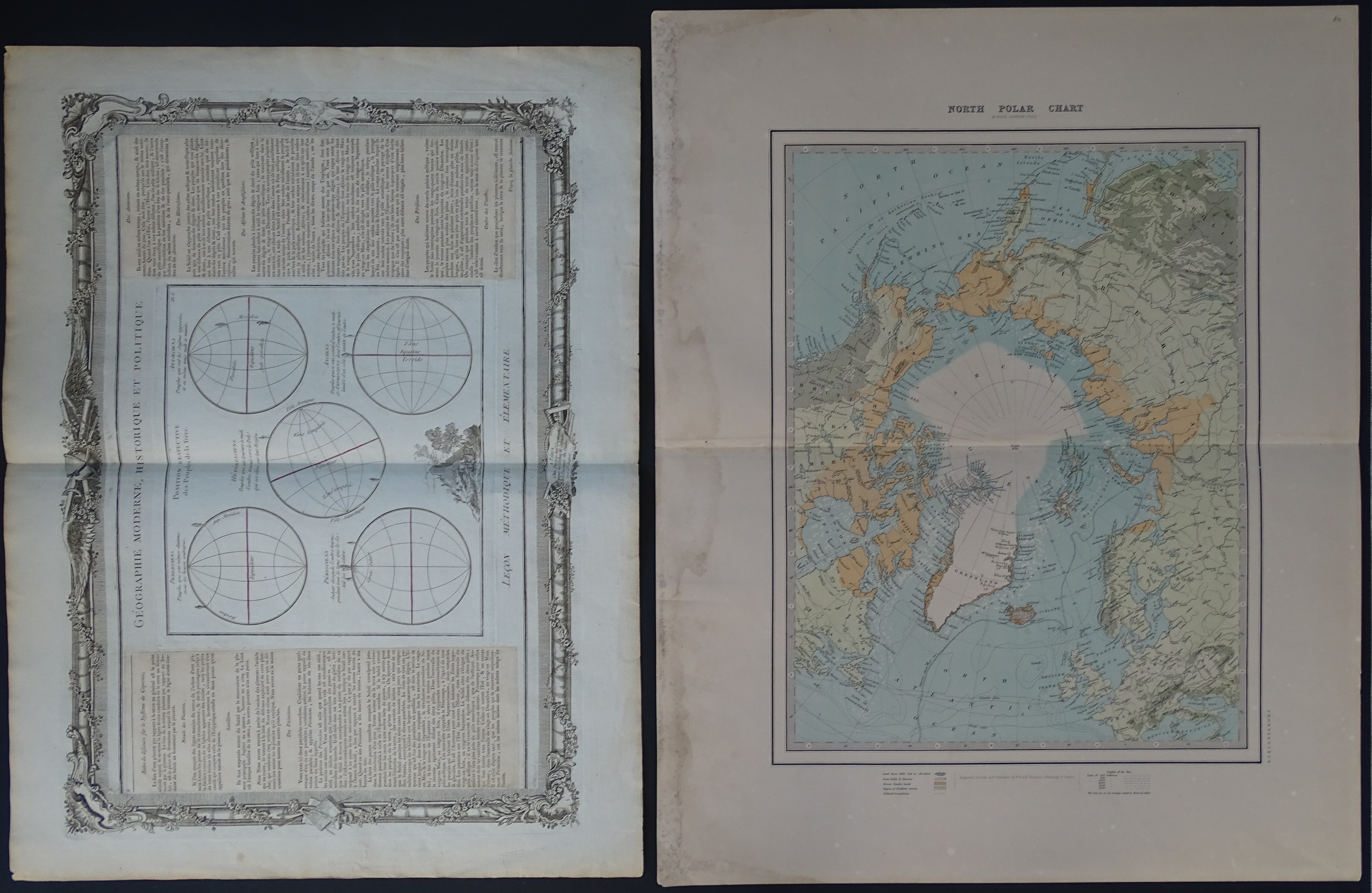
6. North Polar Chart, Keith Jonston, 1879
sheet approx. 61 by 49.5 cm
7. Geographie Moderne Historique et Politique Lecon Methodique et Elementaire, Desnos 1786
sheet approx. 58 by 44 cm